

“Goofy kicking Donald Duck”
“Impressionistic representations of the yearnings and deviousness of politics today.”
The nicknames and descriptions for bizarrely contorted legislative districts are almost as numerous as the districts themselves. They add a little humor to an otherwise serious problem that has come to define a key part of America’s increasingly dysfunctional legislative branch, at both the state and federal levels.
But they’re nothing new.
While partisan redistricting has been a controversial issue in recent years, the tradition of politicians using creative mapmaking to their advantage is as old as the legislative branch itself.
As far back as the 1780s politicians have sought to use mapmaking to keep political foes out of office. Even the Founders were not immune from its temptation, nor could they avoid becoming its targets.
When Virginia drew its first congressional district map Patrick Henry sought to keep his rival James Madison out of office by drawing Madison an unfriendly district. Another early American leader, Massachusetts Governor Elbridge Gerry, set in motion the redistricting trick that today bears his name when he signed into law an 1812 bill creating a district which critics said resembled a salamander. Giving tongue-in-cheek credit to its author, the Boston Gazette coined the term “Gerrymander,” a label which lives on to this very day.
Gerrymandering has been with us ever since, and with the development of better mapping technology it has become even more precisely targeted in the 21st century. The New York Times in 2022 even created an interactive map with a fictional state called “Hexapolis” to let readers try their hand at gerrymandering.
Redistricting may have even played a role in the killing of one of the most powerful politicians in American history. In 1935 U.S. Senator Huey Long of Louisiana sought to re-draw a district map to remove a political rival from his seat as a state judge. Though historians still dispute the exact series of events, what is known is that a physical scuffle broke out in a state capitol hallway which resulted in the death of both Senator Long and his assailant, the judge’s son-in-law.
Journalist Robert Draper, author of “The League of Dangerous Mapmakers,” said that politicians use redistricting to draw districts that will become an “impregnable garrison that consists of the best voting bloc likeliest to keep him in power for a long period of time.”
In other words, politicians pick their preferred voters, rather than voters picking their preferred politician.
The Constitution places the role of drawing Congressional districts in the hands of the state legislatures, a process to be conducted every ten years following the decennial census. It is meant to ensure that legislative districts remain equal in population as Census numbers are updated. But over the past few decades, state after state has seen litigation which led to mid-decade redrawing of district lines and shifting partisan advantages. Last year Louisiana, Alabama and North Carolina all had Congressional maps which had been updated since 2022.
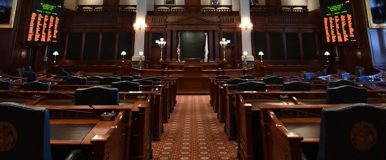
At the state level, different states have taken different approaches to address the redistricting conundrum. Several states rely on nonpartisan redistricting commissions, taking the power theoretically out of the hands of the legislature, while others use hybrid systems. Illinois, however, has stuck with the tried and true.
Redistricting in Illinois is done by a majority vote of the legislature, unless the two houses and the Governor cannot agree, something which last happened in 2001. In that circumstance the state Constitution calls for a redistricting commission made up of equal numbers of members of each party. If this balanced commission cannot come up with a map, a tiebreaking member’s name is drawn from a hat and the commission proceeds with its work with one party having a one-seat advantage.
The redistricting commission was written into the state’s 1970 Constitution because the members of the Constitutional convention believed it would foster consensus and bipartisanship in map-drawing. Neither party, they felt, would want to run the risk of the other party winning the drawing and getting total control of the process.
Their prediction did not age well.
In 1991 a Republican’s name was drawn and Republicans went on to a 10-year majority in the Illinois Senate. In 2001, a Democrat was selected. Democrats have had total control of the legislative branch ever since.
But in an era of one-party dominance in state government, the redistricting process never reaches the bipartisan commission. In 2021 Illinois Democrats literally went behind closed doors to secretly draw the maps which were then passed on a party-line vote and which produced the current Democrat supermajorities in both houses of the legislature.
Today more than half of Illinois’ counties are split between at least two state House districts, including counties with very small populations such as Hamilton (population 7,993), Ford (13,534), Brown (6,244) and Washington (13,761). Districts are contorted to take in preferred areas, while avoiding less-friendly precincts. Narrow fingers extend from districts to reach faraway cities and towns in order to attain a desired partisan balance, while others twist around certain communities to ensure their votes go elsewhere.
You might say they twist around like a salamander.
While partisan redistricting has been a controversial issue in recent years, the tradition of politicians using creative mapmaking to their advantage is as old as the legislative branch itself.
As far back as the 1780s politicians have sought to use mapmaking to keep political foes out of office. Even the Founders were not immune from its temptation, nor could they avoid becoming its targets.
When Virginia drew its first congressional district map Patrick Henry sought to keep his rival James Madison out of office by drawing Madison an unfriendly district. Another early American leader, Massachusetts Governor Elbridge Gerry, set in motion the redistricting trick that today bears his name when he signed into law an 1812 bill creating a district which critics said resembled a salamander. Giving tongue-in-cheek credit to its author, the Boston Gazette coined the term “Gerrymander,” a label which lives on to this very day.
Gerrymandering has been with us ever since, and with the development of better mapping technology it has become even more precisely targeted in the 21st century. The New York Times in 2022 even created an interactive map with a fictional state called “Hexapolis” to let readers try their hand at gerrymandering.
Redistricting may have even played a role in the killing of one of the most powerful politicians in American history. In 1935 U.S. Senator Huey Long of Louisiana sought to re-draw a district map to remove a political rival from his seat as a state judge. Though historians still dispute the exact series of events, what is known is that a physical scuffle broke out in a state capitol hallway which resulted in the death of both Senator Long and his assailant, the judge’s son-in-law.
Journalist Robert Draper, author of “The League of Dangerous Mapmakers,” said that politicians use redistricting to draw districts that will become an “impregnable garrison that consists of the best voting bloc likeliest to keep him in power for a long period of time.”
In other words, politicians pick their preferred voters, rather than voters picking their preferred politician.
The Constitution places the role of drawing Congressional districts in the hands of the state legislatures, a process to be conducted every ten years following the decennial census. It is meant to ensure that legislative districts remain equal in population as Census numbers are updated. But over the past few decades, state after state has seen litigation which led to mid-decade redrawing of district lines and shifting partisan advantages. Last year Louisiana, Alabama and North Carolina all had Congressional maps which had been updated since 2022.
At the state level, different states have taken different approaches to address the redistricting conundrum. Several states rely on nonpartisan redistricting commissions, taking the power theoretically out of the hands of the legislature, while others use hybrid systems. Illinois, however, has stuck with the tried and true.
Redistricting in Illinois is done by a majority vote of the legislature, unless the two houses and the Governor cannot agree, something which last happened in 2001. In that circumstance the state Constitution calls for a redistricting commission made up of equal numbers of members of each party. If this balanced commission cannot come up with a map, a tiebreaking member’s name is drawn from a hat and the commission proceeds with its work with one party having a one-seat advantage.
The redistricting commission was written into the state’s 1970 Constitution because the members of the Constitutional convention believed it would foster consensus and bipartisanship in map-drawing. Neither party, they felt, would want to run the risk of the other party winning the drawing and getting total control of the process.
Their prediction did not age well.
In 1991 a Republican’s name was drawn and Republicans went on to a 10-year majority in the Illinois Senate. In 2001, a Democrat was selected. Democrats have had total control of the legislative branch ever since.
But in an era of one-party dominance in state government, the redistricting process never reaches the bipartisan commission. In 2021 Illinois Democrats literally went behind closed doors to secretly draw the maps which were then passed on a party-line vote and which produced the current Democrat supermajorities in both houses of the legislature.
Today more than half of Illinois’ counties are split between at least two state House districts, including counties with very small populations such as Hamilton (population 7,993), Ford (13,534), Brown (6,244) and Washington (13,761). Districts are contorted to take in preferred areas, while avoiding less-friendly precincts. Narrow fingers extend from districts to reach faraway cities and towns in order to attain a desired partisan balance, while others twist around certain communities to ensure their votes go elsewhere.
You might say they twist around like a salamander.